
LiDAR Measured Building Surveys in Chesterfield
Measured Building Surveyors
MJB Technical's LiDAR measured building survey service provides accurate and detailed digital records of existing buildings and structures.
Using advanced LiDAR scanning technology, we capture precise measurements and spatial data, which can be used to produce floor plans, elevations, sections, 3D models and as-built drawings.
This fast and efficient surveying method provides a reliable foundation for planning, design, renovation and construction projects.
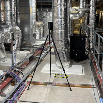
LiDAR measured building surveys have become an essential tool for developers, architects, engineers and construction professionals, delivering accurate, detailed and efficient building data that supports every stage of a project.
Why Choose Us?
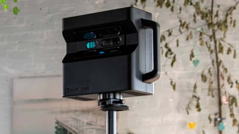
Lidar Scanning
Explore LiDAR Measured Building Surveys
LiDAR (Light Detection and Ranging) Measured Building Surveys use advanced laser scanning technology to capture millions of data points, creating an accurate digital representation of buildings, structures and land.
The information collected can be used to produce detailed floor plans, elevations, sections, 3D models, topographical surveys and as-built drawings.
This modern surveying method provides a fast and efficient way of recording existing conditions, whether surveying a residential property, commercial building, historic structure or an undeveloped plot of land.
The data captured provides a reliable foundation for planning, design, construction and property management projects.
By creating a precise digital record of a site, LiDAR surveys help improve project coordination, reduce the need for repeat site visits and provide the accurate information needed to support informed decision-making throughout the lifecycle of a project.
LiDAR Services
What We Do
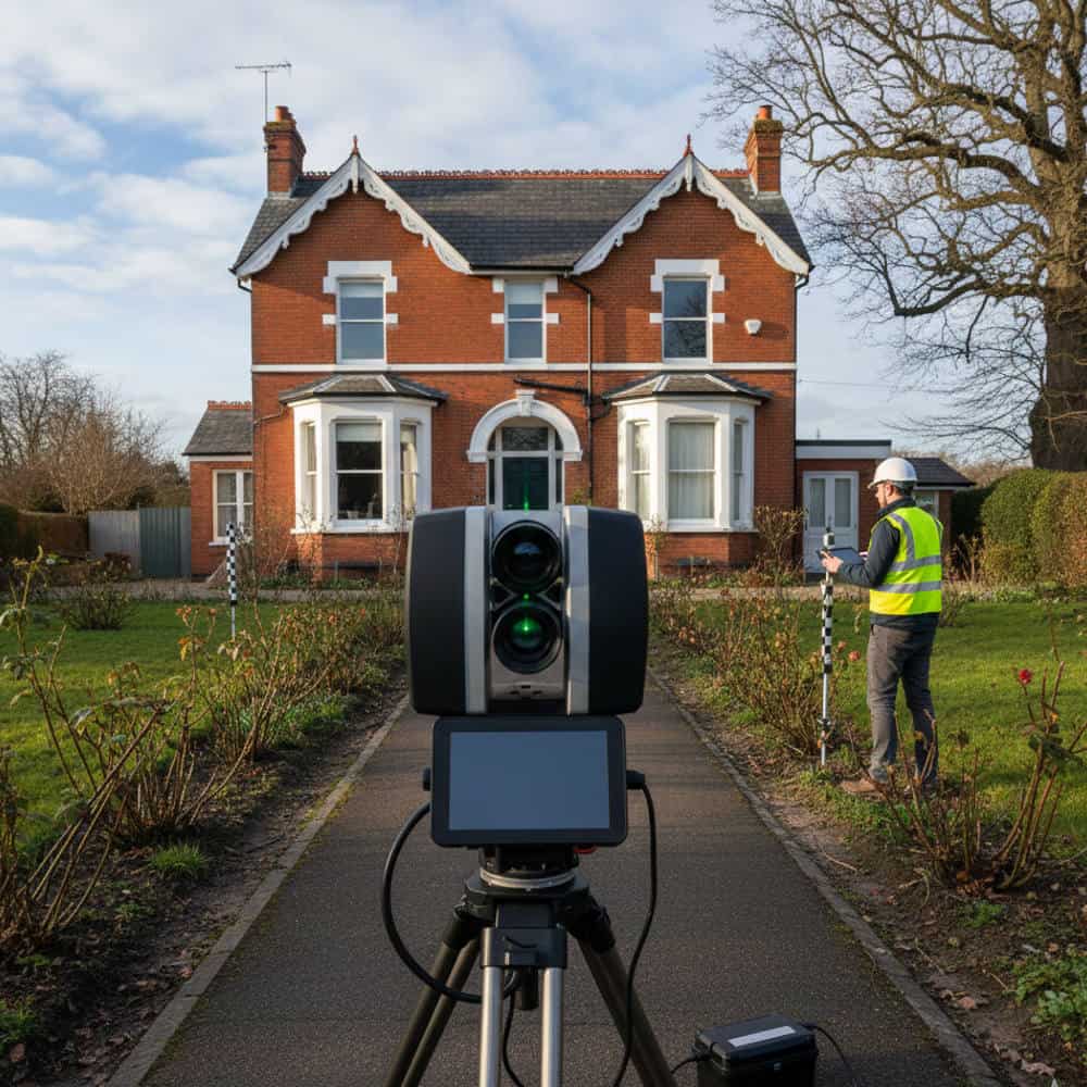
About LiDAR measured building survey service
Survey Outputs
- Existing Floor Plans
- Elevations
- Building Sections
- Roof Plans
- Site Plans
- Area Calculations
3D And Digital Deliverables
- Point Cloud Data
- 3D Building Models
- BIM Models
- Digital Twins
- Matterport Virtual Tours
Building Types
- Residential Properties
- Commercial Buildings
- Industrial Facilities
- Historic Buildings
- Educational Facilities
- Leisure And Hospitality Venues
Frequently Asked Questions
Measured Surveys And LiDAR
What is a measured building survey?
A measured survey captures accurate dimensions of a building and can be used to produce floor plans, elevations, sections and 3D models.
What is LiDAR scanning?
LiDAR uses laser technology to create highly accurate digital representations of buildings and sites.
Why choose LiDAR over traditional surveying methods?
LiDAR can capture large amounts of information quickly, reducing site visits and providing a permanent digital record of the property.
Can you provide Revit and BIM models?
Yes. We can produce BIM-ready models and Revit files from survey data where required.
LiDAR Measured Building Surveys
Get in touch today to discuss your survey requirements and see how our LiDAR services can support your project.